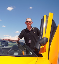
Who Am I ?
I create applications and solve problems using geography. GIS and environmental sciences have been the focus of my education and career for over 20 years.
Maps & Technology
My love of maps began as a kid, learning how to triangulate my position in the dense forests of central Maine using USGS topographic maps and a compass. Throughout my education there I realized that geography is integral to scietific analysis. Spatial correlation can provide powerful insights and uncover fascinating patterns.
As a GIS developer I have been able to become a mini-expert in many fields of study. Creating 3D models of soil and groundwater contamination, mapping the largest wastewater collection system between Chicago and LA, developing demographic models to identify underserved healthcare markets, producing a suite of plate tectonic modeling software... Learning how to apply GIS to new domains is what I do.
Download Resumé